
Integrative Studio week 11
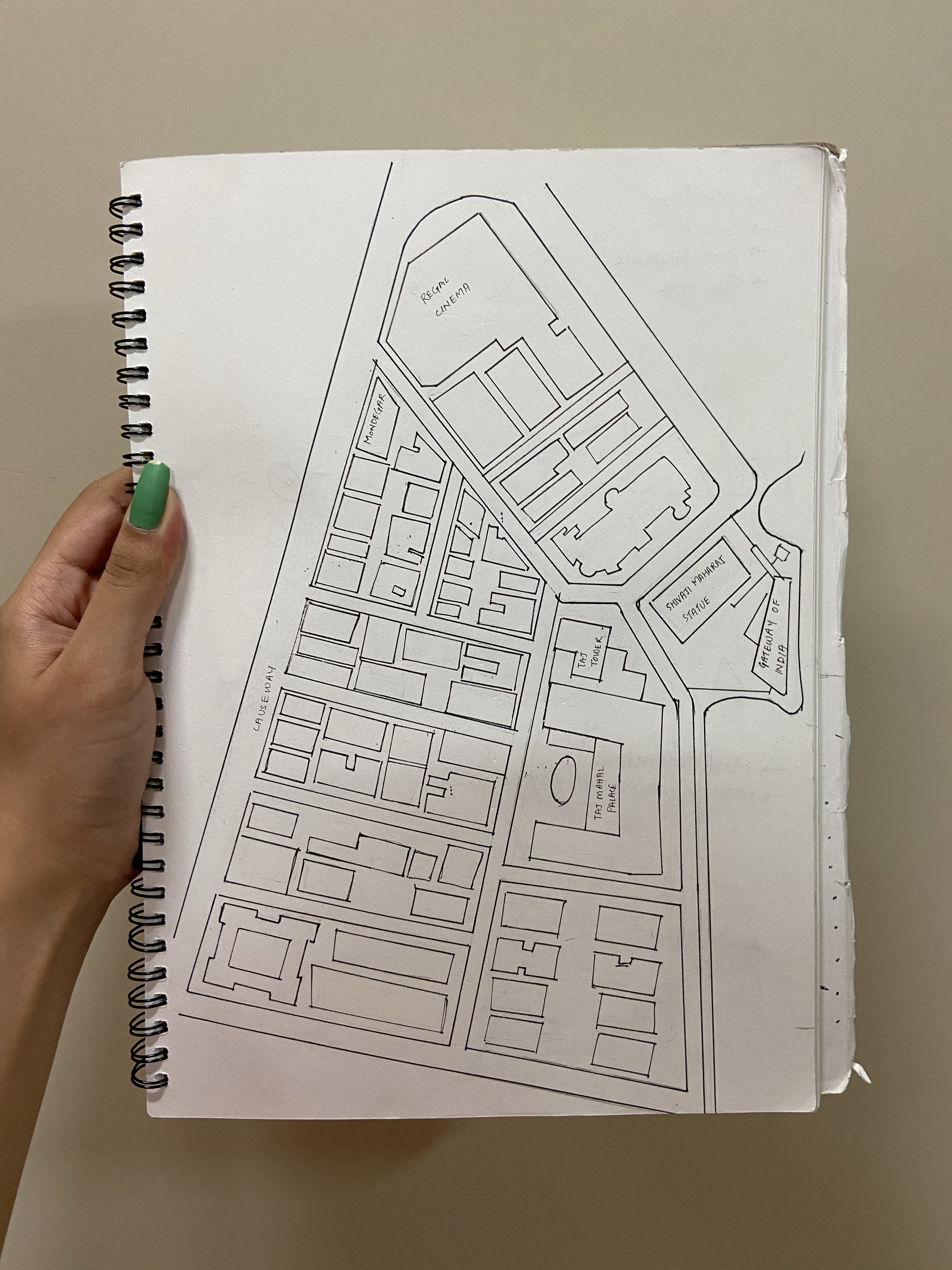
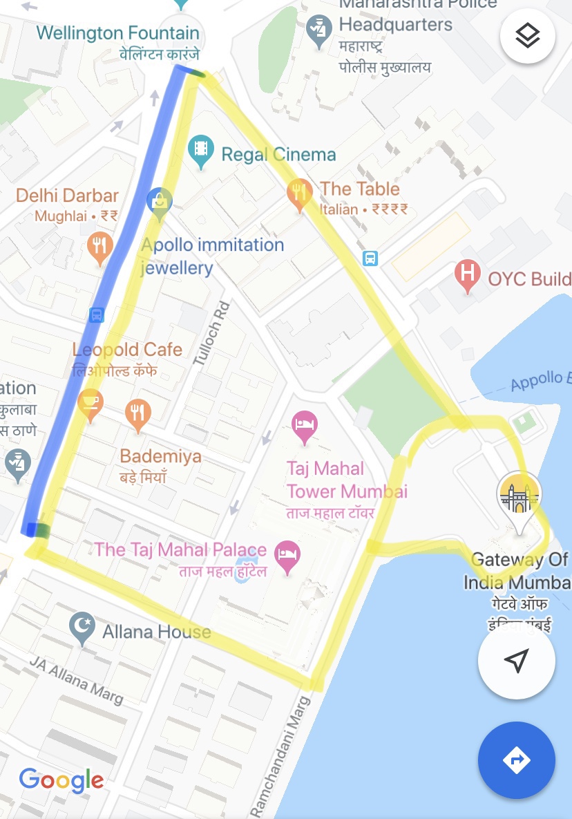
Our second visit to our selected location, was with a clear mission: To understand what the exact boundaries of our space were.
We set out again, and without wasting a moment,we were off deciding the demarcations of our area.This is what we finalised on:
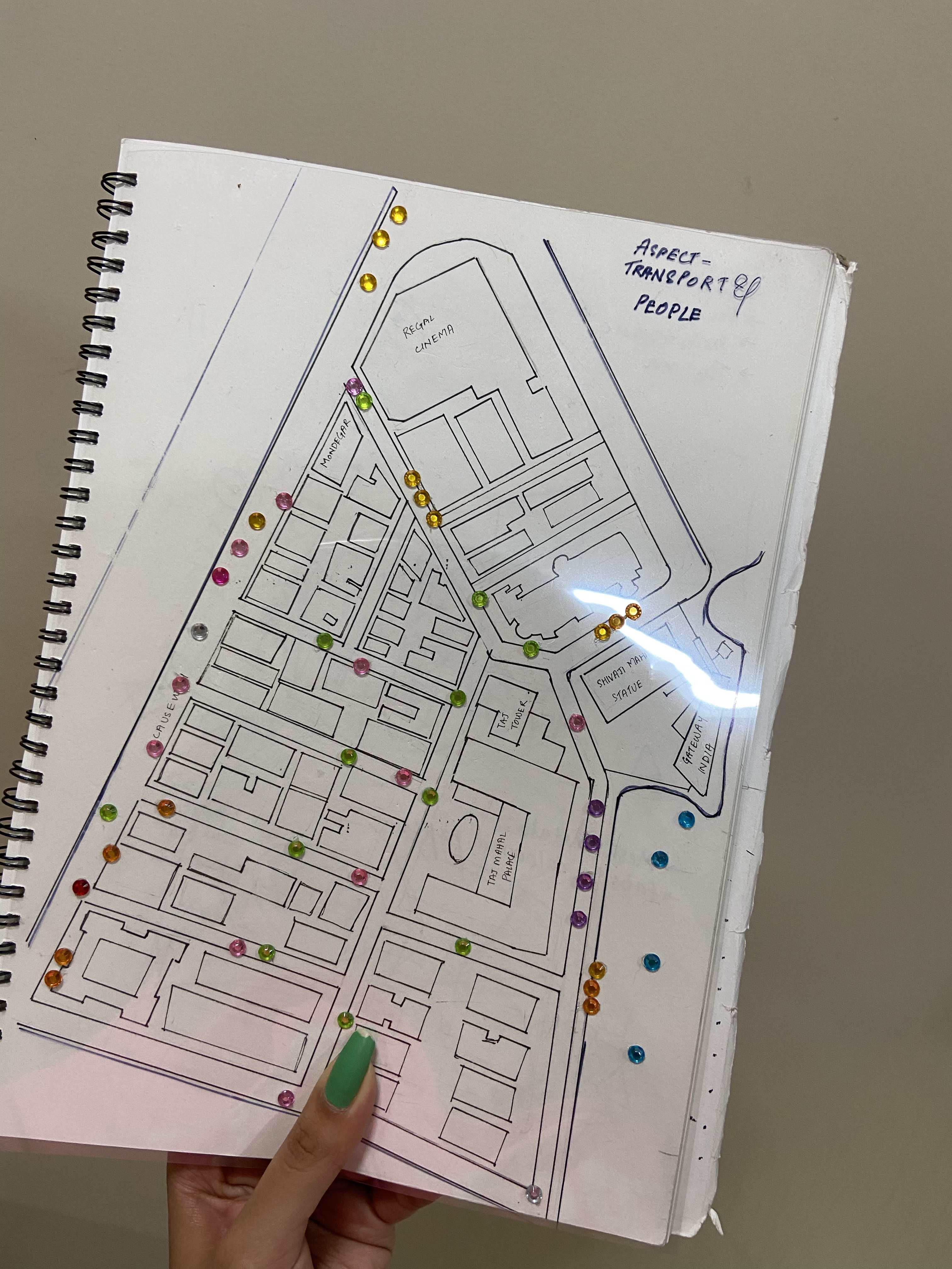
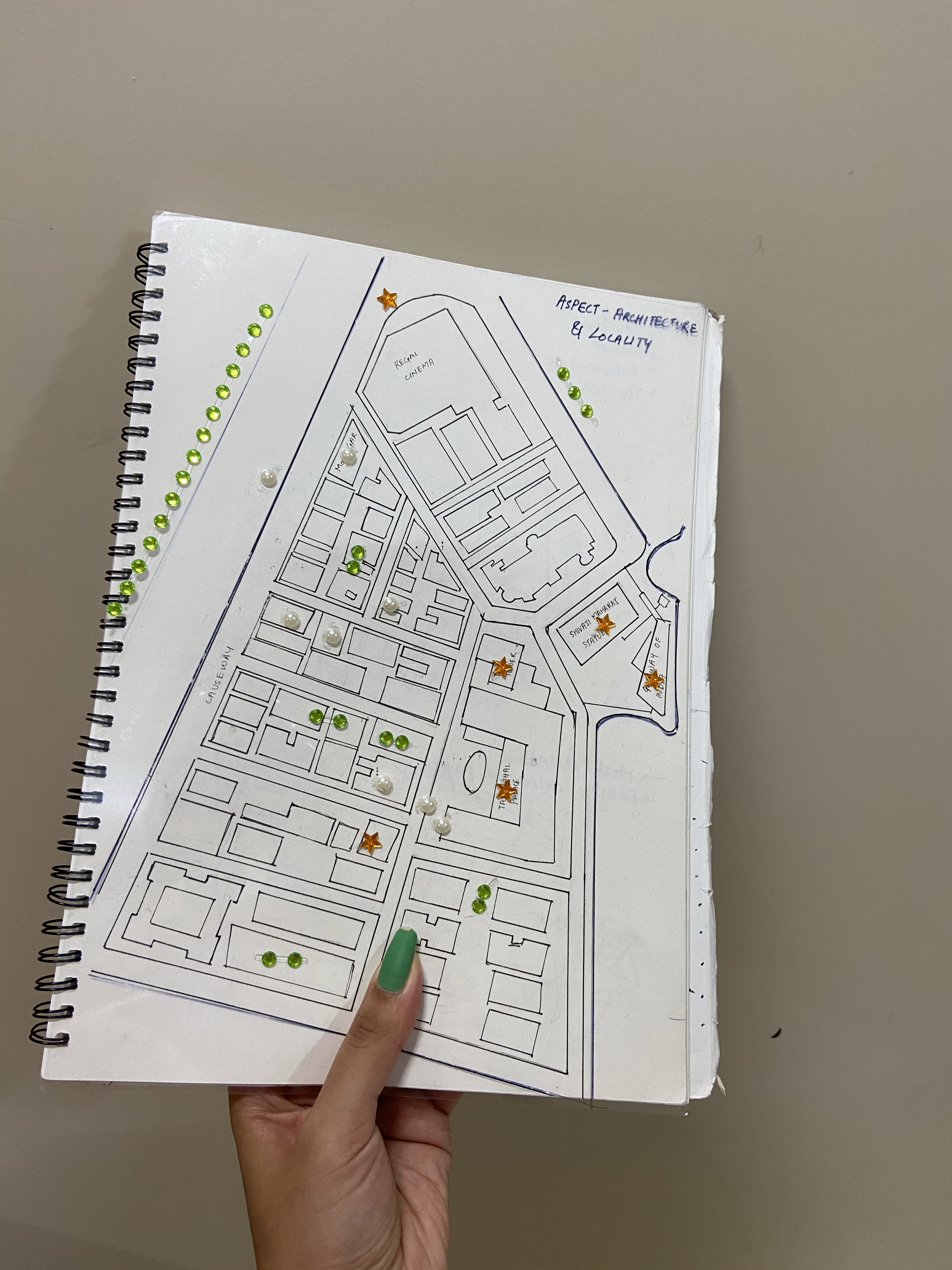
We then had to make maps representing different aspects of our location.
Our aspects are:
- Transport and People
- Architecture and Locality
- Shopping
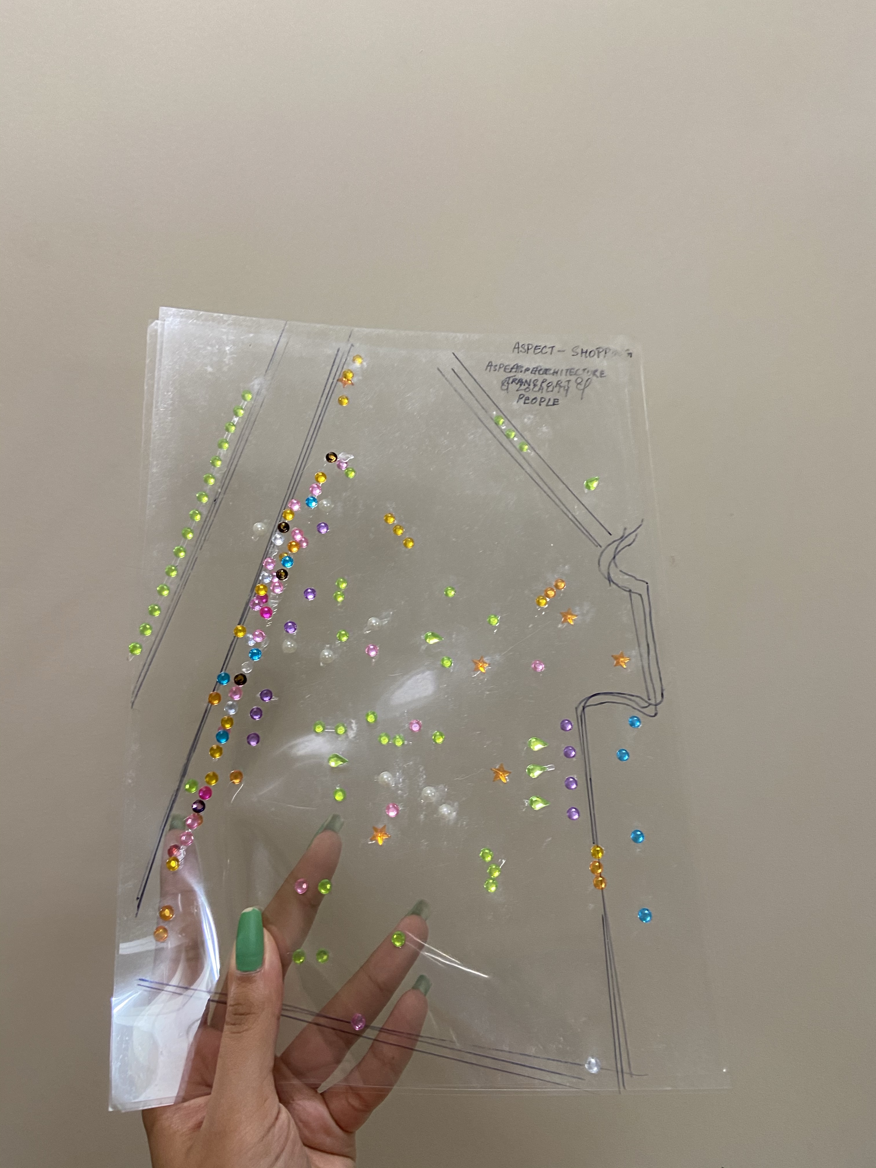
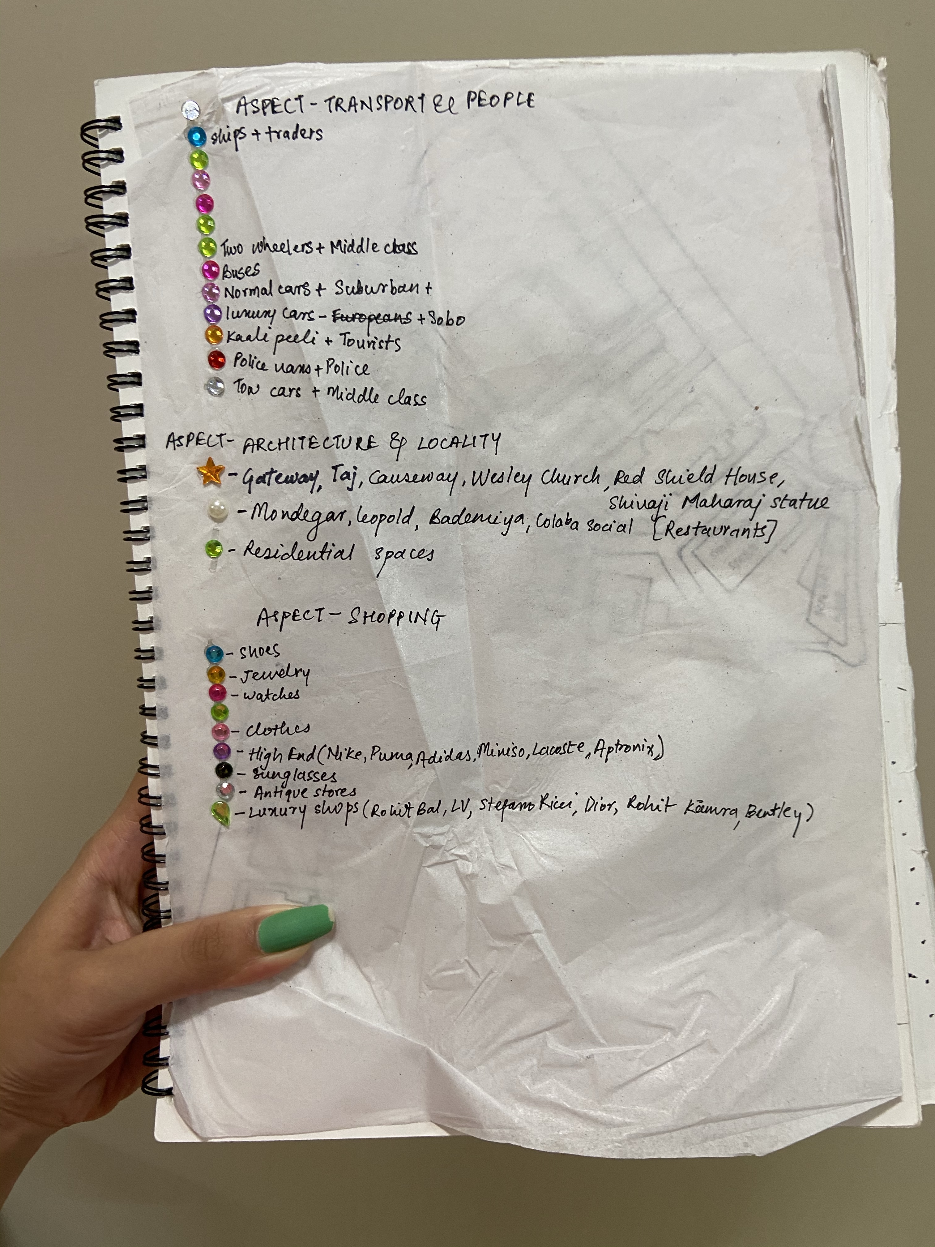
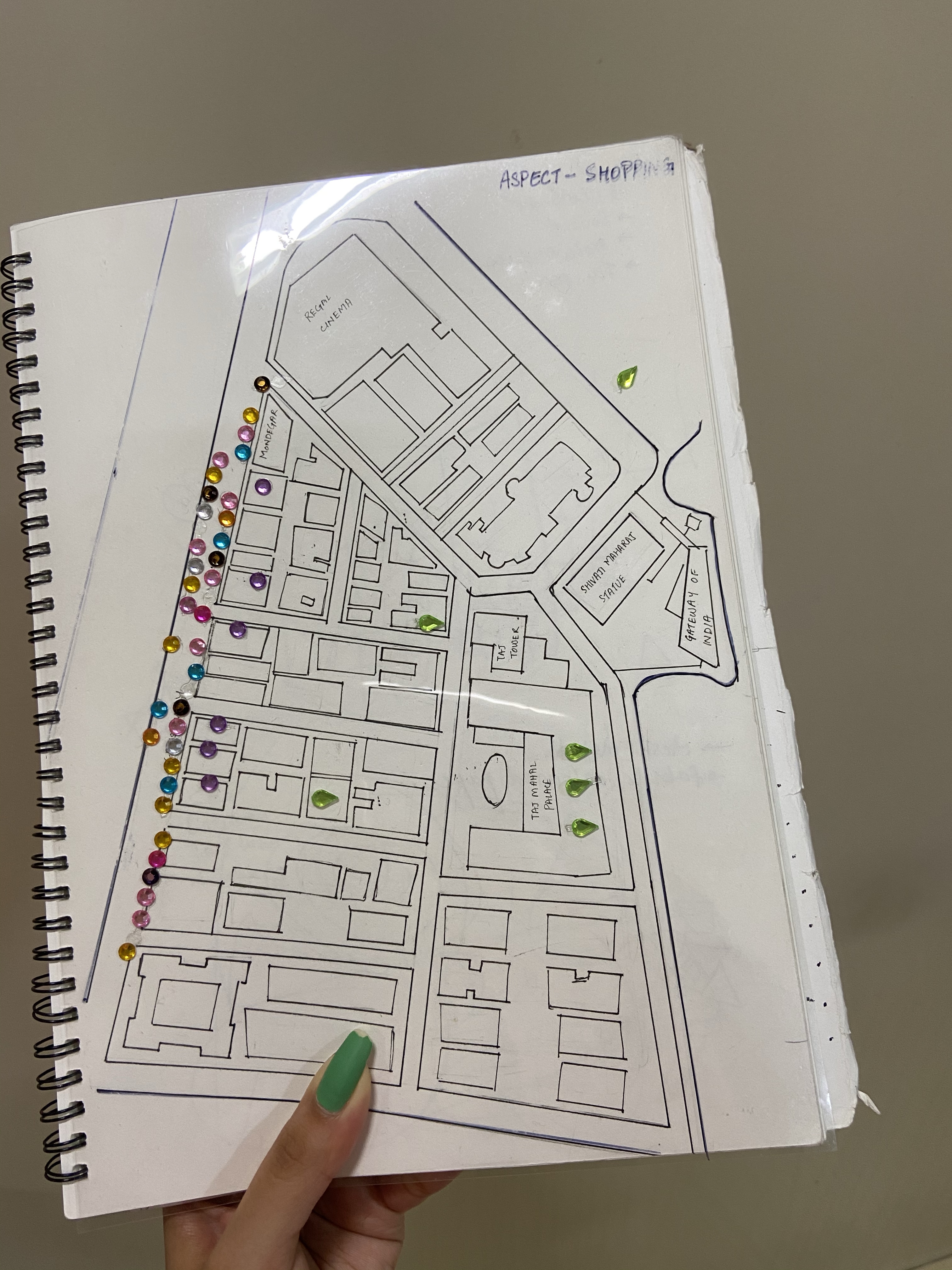
Instead of making different maps for each aspect,we came up with an idea which would be time-efficient and easy to understand. We drew our main map with references to the exact satellite images, and traced its outline on 3 clear OHP sheets. We purchased rhinestone stickers of different shapes ,and gave each colour/shape a legend,dividing them into their respective categories.
This way, when you keep one OHP sheet on the map and align the borders,you can see one aspect and its components being covered at a time.